
Define the project
Establish participating farms, field boundaries, eligible land and the project’s scope.
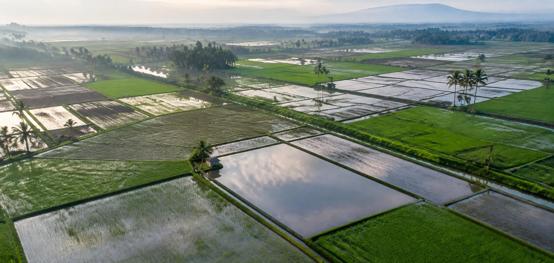
The Carbon Credit connects field activity, geospatial observations and rigorous MRV workflows to help build credible agricultural carbon projects.
A credible project needs more than an activity claim. Its scope, baseline, method, calculations and review must connect back to suitable evidence.
Establish participating farms, field boundaries, eligible land and the project’s scope.
Connect consent, farming activities, dates, field observations and source records.
Keep methodology versions, assumptions, calculations and review decisions together.
Not every claimed tonne becomes an issued credit. Evidence collection, estimated reductions, independent verification, issuance and sale are separate stages.
Understand monitoring, reporting and verificationThe illustrative evidence graph connects a field, season and activity to its source records, assessment status and reviewer decision.
Collected evidence, assessed findings and work awaiting independent review remain distinct.
Explore the evidence modelRecords and observations support, qualify or challenge the activity claim.
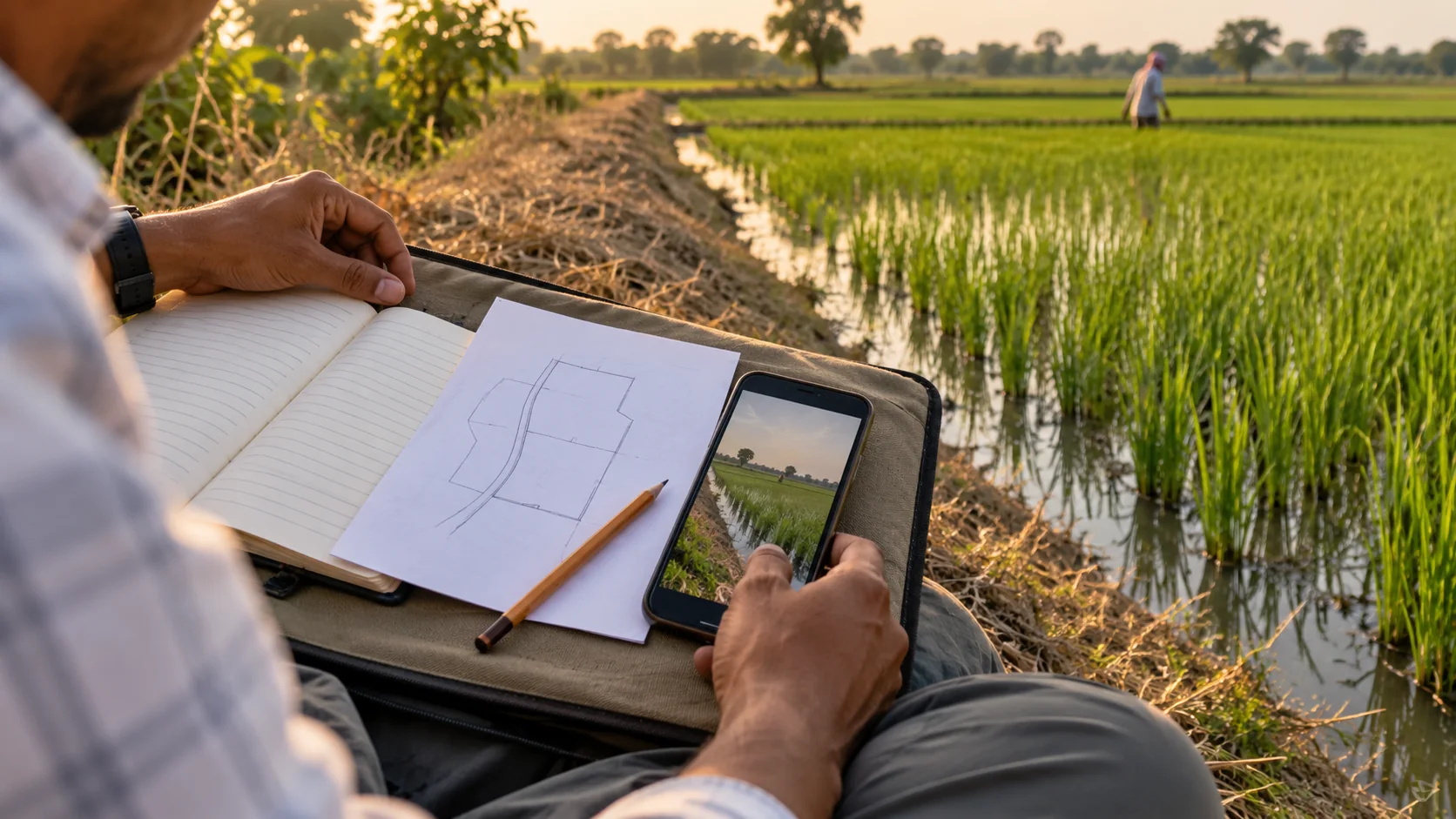
Select a stage to see what it can establish, which records support it and where its limits begin.
Evidence collection, emission estimates, independent verification, credit issuance and credit sales are distinct steps.
Direct Seeded Rice (DSR) establishes rice by sowing seed directly in the field. Transplanted rice moves seedlings from a nursery into prepared fields. The establishment method can affect field operations, but water management remains a separate choice.
Choose a method to see what changes in the field.
This changes crop establishment. Irrigation schedules and field conditions still vary, so DSR alone does not define how long soil stays flooded.
Under suitable conditions, DSR can reduce methane compared with an appropriate baseline. Results depend on water and crop management, field conditions and the applicable methodology. DSR does not automatically produce carbon credits.
 FIELD PRACTICE / 02
Establishment ≠ water management. Sowing method alone does not show how a field was irrigated or how long it remained flooded.
Confirm field boundaries, season, consent and the project’s evidence requirements.
Record sowing date and method, field preparation and relevant observations.
Log irrigation and water management where the selected methodology requires them.
Close the seasonal record, resolve gaps and retain calculations with their assumptions.
The required records depend on the chosen programme and methodology.
No. Eligibility and any potential outcome depend on the project boundary, baseline, applicable methodology, field evidence and independent review. DSR adoption alone is not enough.
A project applies the relevant methodology to its defined baseline, activity data and assumptions, including uncertainty and deductions. The result is an estimate, not a verified reduction or issued credit.
An independent validation or verification body assesses the project against the selected programme’s rules where required. A registry controls credit issuance under its process.
Start with your geography, crop and season, current practices, available records and intended programme. The Carbon Credit can discuss evidence requirements and a potential collaboration.
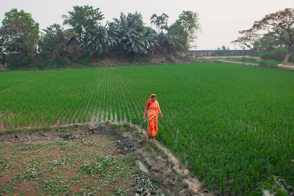
Every field has a story. Connect its season, practices and observations — without losing the context behind a claim.
From observation to review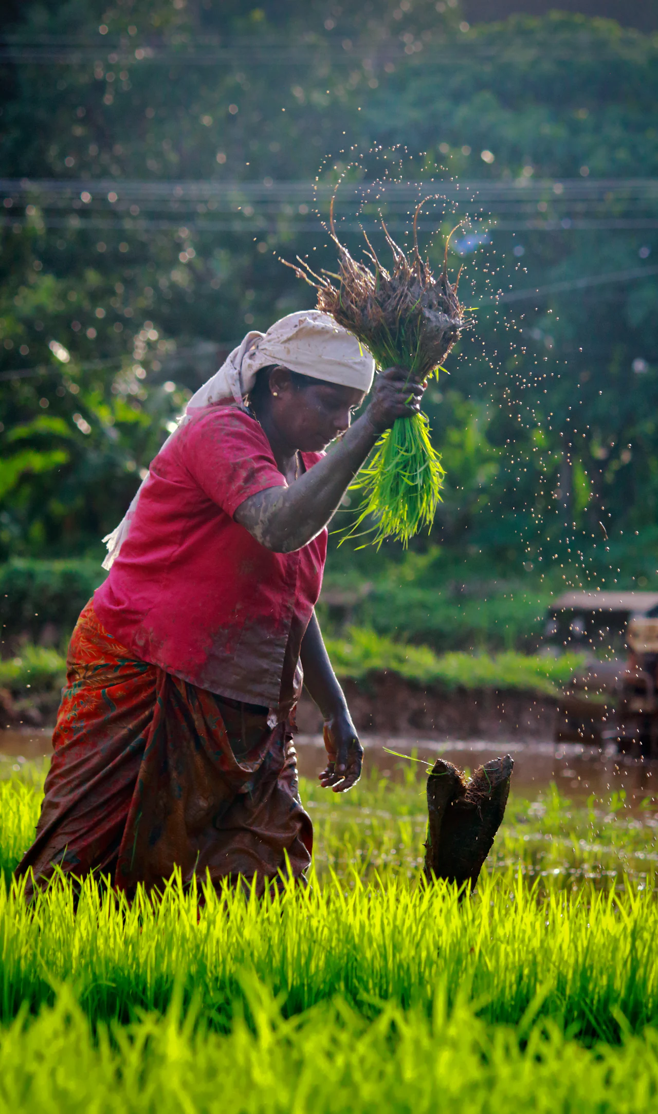
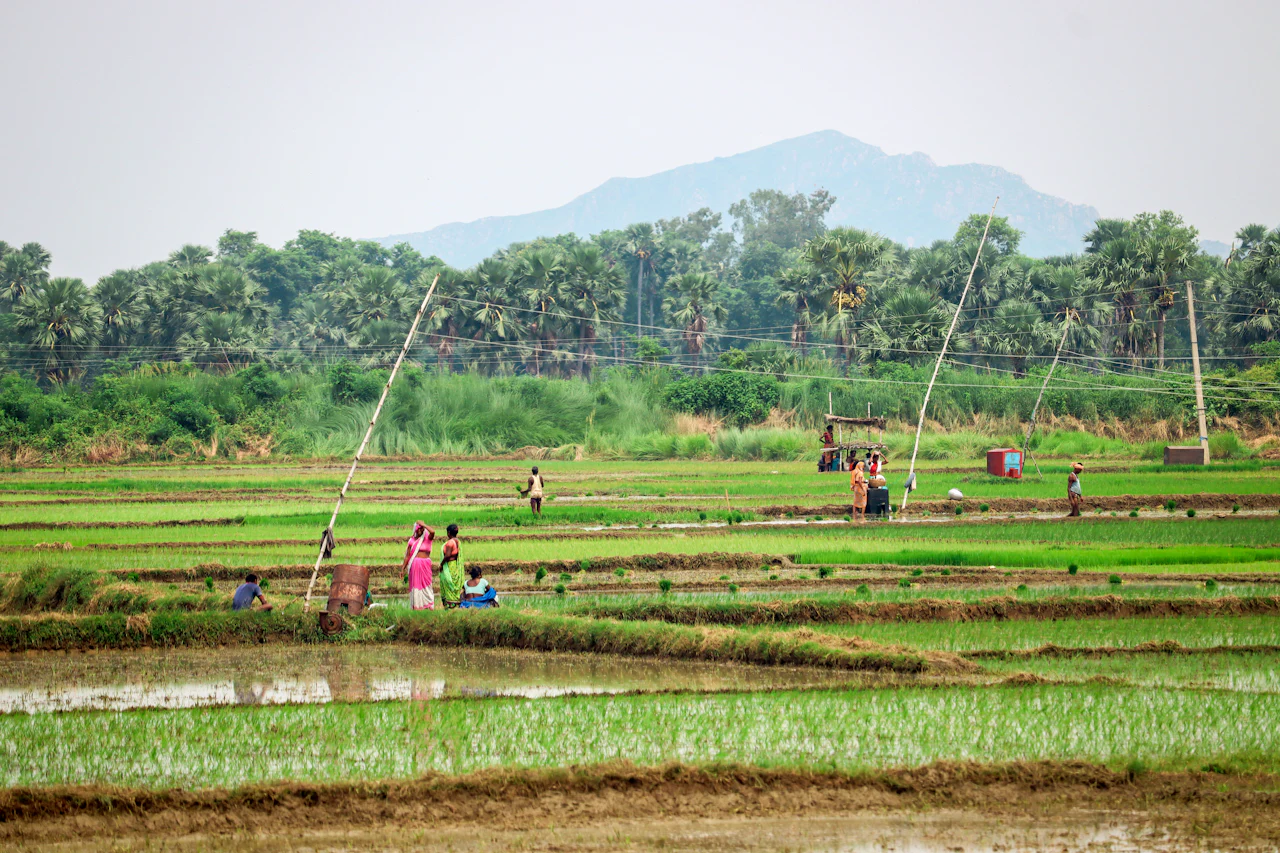
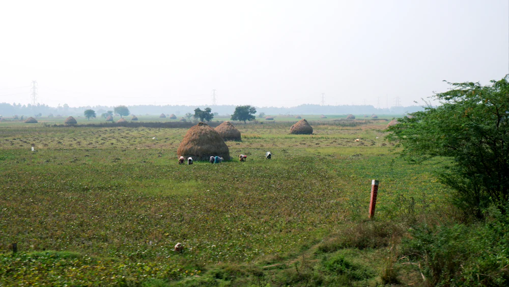
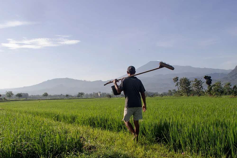
Satellite observations can add spatial and seasonal context when coverage, timing and image quality are suitable. They remain one source among several.
 ILLUSTRATIVE SATELLITE-STYLE MOSAIC · NOT LIVE DATA
Optical imagery can be limited by cloud, timing and resolution. It does not directly measure methane or prove a field practice.
Each stage has a purpose, required sources and a clear boundary on what its findings can support.
Define the participating farms, fields, season and project requirements.
Record consent, activities and field observations with their source and date.
Use suitable geospatial data as supporting context, with quality limitations.
Apply the relevant baseline and methodology, retaining assumptions and uncertainty.
Prepare traceable records for quality checks and independent assessment where required.
 01 06ILLUSTRATIVE FIELD STORY
Document the field activity, who reported it and when it took place.
Platform design · capabilities described below are proposed unless explicitly identified as available. Product examples are illustrative, not live monitoring or verified results. Implementation and integrations are agreed for each program.
Organize persistent field identities, crop-season records and observations. The intended output is a contextual field history rather than isolated spreadsheets.
Compare reported activities with defined practice requirements. Intended assessments keep missing sources and unresolved inconsistencies visible.
Associate suitable spatial datasets with registered parcels and observation periods. Coverage and resolution limitations accompany interpretation.
Connect claims to sources, methodology versions and review decisions. Traceable evidence packages preserve both supporting and conflicting records.
Check completeness, timing and field association, then surface exceptions. Automated checks support accountable human review.
Prepare field and program assessments retaining assumptions, exclusions, status and source references. Formats depend on the agreed implementation.
Programs define their own geography, crop, practices, methodology and evidence requirements. The current public focus is Direct Seeded Rice and agricultural carbon projects in Punjab.
Connect seasonal activity records with field observations to assess how agricultural practices change over time.
RESOURCE MONITORINGBring irrigation observations, sensor measurements and geospatial context into a consistent field record.
PROGRAM ASSURANCEStructure evidence around the criteria of a sustainable agriculture program, rather than a single crop or region.
Farmers and institutions bring different knowledge and responsibilities to an agricultural carbon project.
Contribute authorized farm records and local observations; coordinate registration and collection, with clearer evidence requirements and seasonal visibility.
Contribute farm and downstream documentation; reconcile practice and production references to identify traceability coverage and missing links.
Define eligibility, reporting criteria and authorized program records; assess implementation and unresolved evidence without replacing official review.
Define case requirements and supply authorized inspection records; review field timelines to prepare documentation for their own assessment process.
Supply methodology and baseline requirements; organize activity sources and calculations for review without implying certification or issued credits.
Contribute protocols and validation datasets; inspect provenance, assumptions and reproducibility to assess the quality of methods and evidence.
 01 07PROGRAM DEPENDENT
Participation starts with informed consent and a record of field activity.
AI can support analysis. Applicable rules check requirements. People review exceptions and make accountable decisions.
Retain the source, collection time, field context and transformations behind each record.
Make completeness, consistency, uncertainty and limitations explicit. Confidence is not certification.
Keep reviewer decisions and their rationale connected to the evidence they assess.
Respect purpose-specific permissions and restrict sensitive farmer and field information.
No project results or credit issuance are presented as established facts. We’ll publish program outcomes only with a defined scope, supporting records and approval.
Explore program context
Talk with The Carbon Credit about a DSR program, field evidence requirements, research collaboration or a potential project partnership.

